Shop
Showing 1–9 of 255 results
-
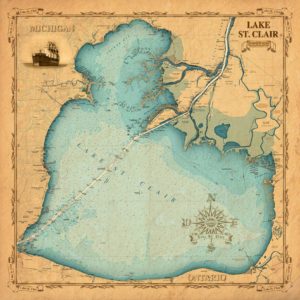
Vintage Lake St. Clair
$15.99 -
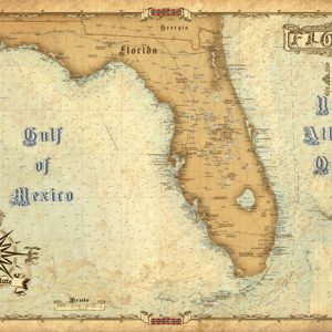
Antique Maps of Florida
$15.99 -
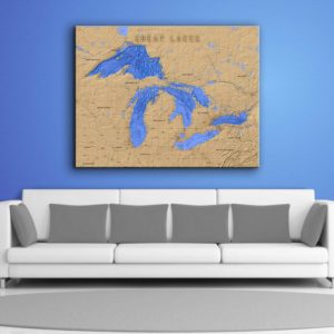
Great Lakes Wrapped Canvas Map Art
$149.99 – $249.99 -
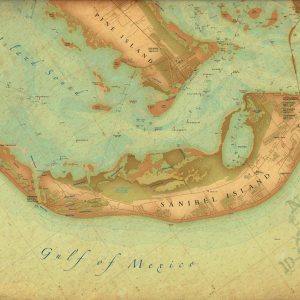
Sanibel Island FL Vintage Style Map
$15.99 -

Naples Pier Canvas Coastal Artwork
$149.99 – $199.99 -

South Florida Sailboat Canvas Artwork
$149.99 – $199.99 -

Montauk Lighthouse Coastal Artwork
$149.99 – $199.99 -
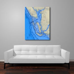
Southwest Florida Canvas Wall Art
$249.95 -
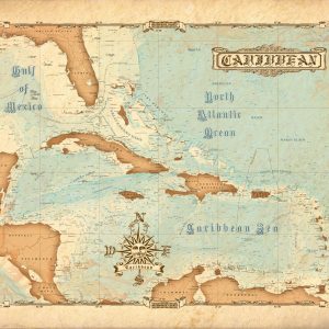
Vintage Caribbean Wrapped Canvas Map Art
$199.95 – $249.95
Top rated products
-
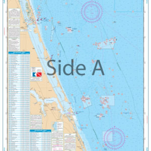 Palm Beach to Fort Pierce Offshore Fish and Dive Chart 127F
$32.95
Palm Beach to Fort Pierce Offshore Fish and Dive Chart 127F
$32.95
-
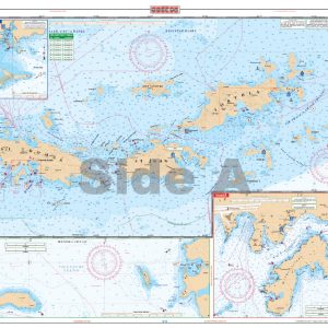 U.S. Virgin Islands - Large Print Navigation Chart 132E
$34.95
U.S. Virgin Islands - Large Print Navigation Chart 132E
$34.95
-
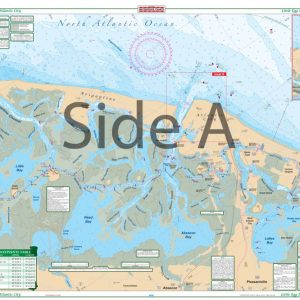 Little Egg Harbor To Atlantic City Large Print Navigation Chart 156E
$32.95
Little Egg Harbor To Atlantic City Large Print Navigation Chart 156E
$32.95
-
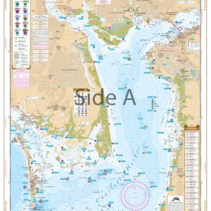 Charlotte Harbor and Lemon Bay Inshore Fishing Chart 1F
$32.95
Charlotte Harbor and Lemon Bay Inshore Fishing Chart 1F
$32.95
-
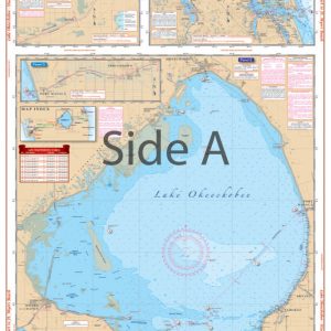 Lake Okeechobee Stuart to Fort Myers Beach Crossing Navigation Chart 20
$32.95
Lake Okeechobee Stuart to Fort Myers Beach Crossing Navigation Chart 20
$32.95