The Finest
Nautical Charts
on the Planet
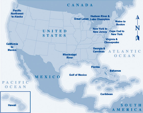
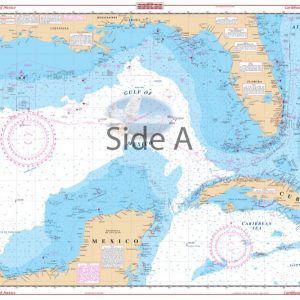
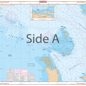
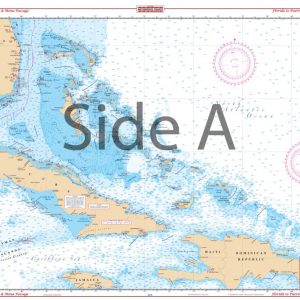
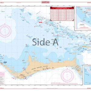
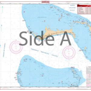
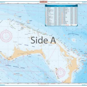
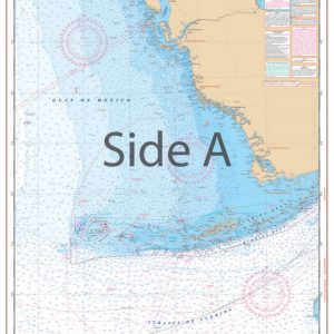
 HOVER OVER THE REGION TO FIND THE CHART YOU NEED

Framed Charts
Three Sizes of Framed Charts

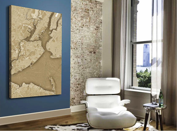
Custom Canvas Charts
By popular demand! Professional, custom printed canvas prints at affordable prices! Ready to hang! The price includes the canvas print, labor, and FREE SHIPPING directly to the continental US. Call us for shipping prices to other locations!
Featured Products
-
Bahamas Chart Kit
$154.95 -
-
-
-
-
-
-
-
-
